GNSS Simulation Research
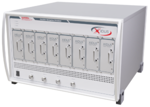
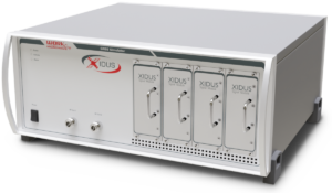
Today’s GNSS Simulation Research seeks for new ideas and algorithms designed to solve the problems still present in satellite navigation. With the reliable signal source Xidus GNSS Simulator, researchers can simulate the GNSS signals of the local environments and conditions of their research projects.
Satellite navigation is becoming more and more common. This results in more and more different GNSS applications. It is all the more important, therefore, that GNSS simulation research should investigate these new areas in depth and clarify open questions.
The Xidus GNSS simulator allows users to:
- redo special scenarios
- add erroneous influence at anytime
- perform scalable multi-path simulation
Questions? Contact Michel.
High and hazardous – the fields of GNSS Simulation Research
A prime example is the application of positioning in the so-called urban canyon. When a user is surrounded by skyscrapers and other high buildings, GNSS simulation must resemble the challenges of a big city. In this instance the actual broadcasted signal is hidden and only reflected versions of it arrive at the user position.
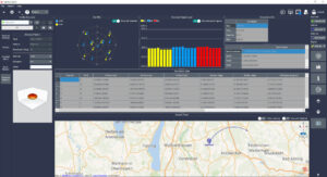
To improve navigation, it is necessary to apply efficient signal processing methods. Ray tracing simulations are used to gain an understanding of the measurement errors in cities. The pseudo-range errors illustrate the challenge of navigating in cities.
Other projects of GNSS simulation research can be imagined in the safety-of-life field. During fire rescue missions or other hazardous situations, satellite navigation can provide invaluable support.
New: Galileo ICD version 2.0!
- Secondary synchronization pattern (SSP) for correlating a local replica of the encoded pattern configurations.
- Reduced Clock and Ephemeris for computing an initial position fix in case a full ephemeris.
- Reed-Solomon Outer Forward Error Correction for robust decoding of I/NAV Clock and Ephemeris Data (CED).


